Page 2 of 2
Posted: Thu Dec 04, 2008 8:13 pm
by Spidey
I was going to let this go, but since you are in the slappin mood…
1. If that map was intended for me…I’m not a Republican.
2. Where does it say “Republican” on that map?
Slap, Slap…
Also..lol @ “uninhabited”
Posted: Thu Dec 04, 2008 8:22 pm
by Gooberman
The picture was intended to let both of us have the last \"word\", since, imo it was a silly argument to have over a self-admitted misunderstanding.....nice job ruining that one

.
Posted: Thu Dec 04, 2008 8:47 pm
by Octopus
usa rules: last word.
Re:
Posted: Fri Dec 05, 2008 7:18 am
by CUDA
Gooberman wrote:
did you get this from Wikimapia

Posted: Fri Dec 05, 2008 9:07 am
by Foil

at the map.
Posted: Fri Dec 05, 2008 11:46 am
by Hattrick
Santa!
haha!
nice map!
Posted: Fri Dec 05, 2008 2:55 pm
by Lothar
I like the complete lack of the country
of Africa on that map.
Posted: Fri Dec 05, 2008 3:56 pm
by Octopus
Lol. Korea's not even attached to asia.
Posted: Fri Dec 05, 2008 6:07 pm
by MD-1118
I don't remember the Bering Strait being that wide.
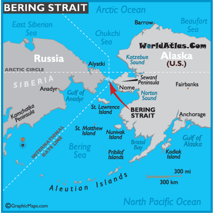
Posted: Fri Dec 05, 2008 6:12 pm
by Octopus
It is. Palin tricked us.
Posted: Sun Dec 07, 2008 8:32 am
by Kilarin
Love the map!
